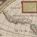
Maps of North America printed during the three centuries after European contact illustrate not only the great strides in scientific, technological, and geographical knowledge during this period, but also express the aesthetic tastes, political agendas, and economic ambitions of those who made and used maps as they shaped the modern world. These rare and treasured documents offer insights into past human experience and attract people with diverse historical interests, who continue to find new ways to read old maps. In celebration of Dr. Seymour I. Schwartz’s pledged bequest of his collection of American maps, this exhibit features highlights from the more than 200 rare, historic items in the collection.
Location information
North Gallery, Mary and David Harrison Institute for American History, Literature, and Culture
Start date
End date

Exhibition category
online exhibition
Main Exhibit
no
Exhibit link

